# Drone Services for Agriculture: How Aerial Technology Is Transforming Modern Farming
Modern agriculture faces mounting pressure: rising input costs, labor shortages, unpredictable weather, and the constant demand to produce more with less. Fortunately, agricultural drone services have emerged as one of the most powerful tools available to today's farmers and agribusiness operators. From small family farms to large commercial operations, aerial drone technology is delivering actionable insights that were simply impossible to obtain just a decade ago.
## What Are Agricultural Drone Services?
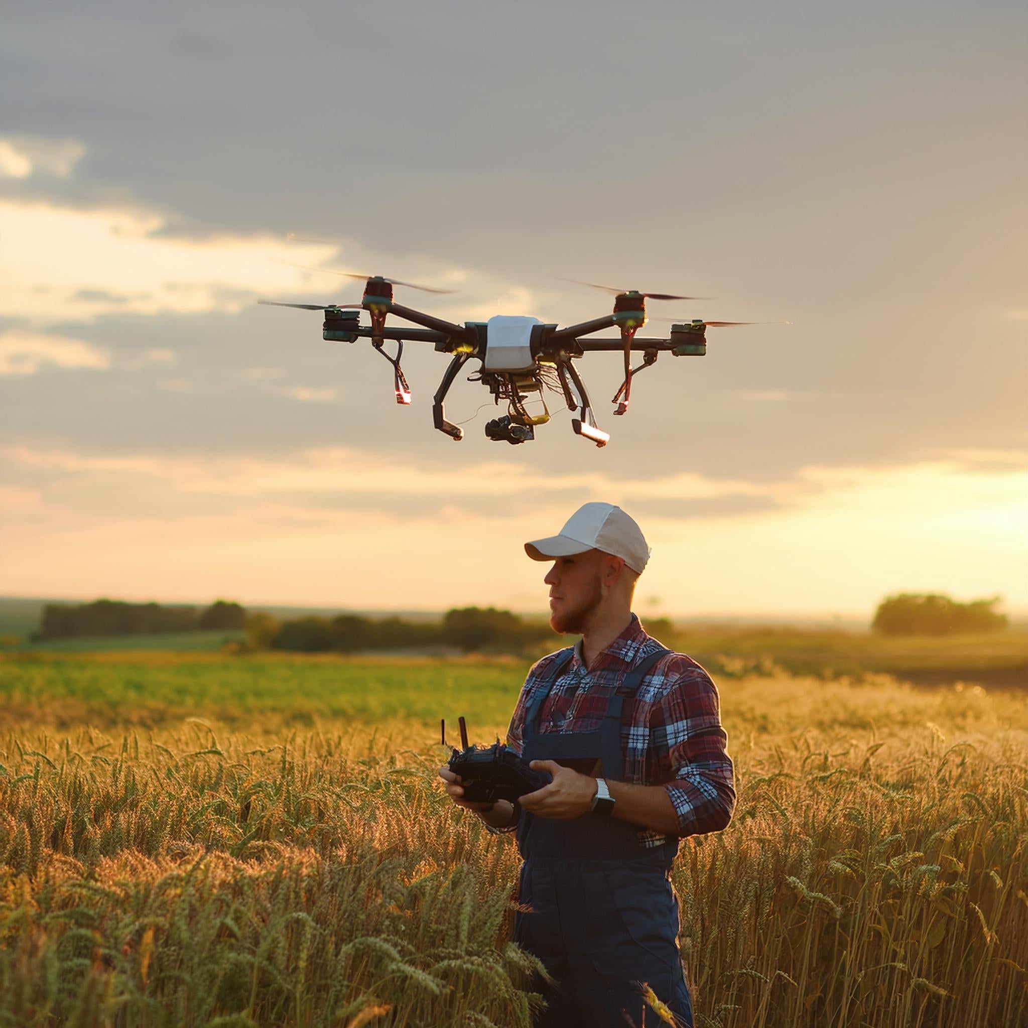
Agricultural drone services involve the deployment of FAA-certified unmanned aerial vehicles (UAVs) equipped with specialized sensors and cameras to survey, monitor, and analyze farmland from above. These drones can cover hundreds of acres in a single flight, capturing high-resolution imagery, multispectral data, thermal readings, and 3D terrain maps that give farmers an unprecedented view of their land.
Professional drone pilots — like those at CAAP Solutions — are FAA Part 107 certified and trained to operate in agricultural environments safely and efficiently. The result is fast, accurate, and cost-effective data collection that empowers smarter farming decisions.
## Key Applications of Drone Technology in Agriculture
### 1. Crop Health Monitoring with NDVI Imaging
One of the most valuable uses of agricultural drones is crop health assessment using Normalized Difference Vegetation Index (NDVI) imaging. Multispectral cameras mounted on drones capture light wavelengths invisible to the human eye, revealing stress, disease, nutrient deficiencies, and irrigation problems across entire fields.
Early detection of crop stress can mean the difference between a minor intervention and a catastrophic yield loss. With drone-based NDVI mapping, farmers can identify problem areas within hours rather than days, allowing targeted treatment before issues spread.
### 2. Precision Irrigation Management
Water is one of agriculture's most precious and expensive resources. Thermal imaging drones can detect variations in soil moisture and identify areas of over- or under-irrigation with remarkable accuracy. By pinpointing exactly where water is needed — and where it's being wasted — farmers can optimize irrigation schedules, reduce water consumption, and lower utility costs significantly.
### 3. Field Mapping and Topographic Surveys
Accurate field maps are essential for precision agriculture. Drone-generated orthomosaic maps and digital elevation models (DEMs) provide detailed topographic data that helps farmers understand drainage patterns, plan field layouts, and optimize equipment routes. These high-resolution maps are far more accurate and current than satellite imagery, and they can be produced on demand whenever conditions change.
### 4. Livestock and Pasture Monitoring
Drones aren't just for row crops. Ranchers and livestock producers are using aerial services to monitor herd locations, assess pasture conditions, and inspect fencing across large properties. What once required hours on horseback or in an ATV can now be accomplished in a single drone flight, saving labor time and improving animal welfare oversight.
### 5. Planting, Seeding, and Spraying Operations
Advanced agricultural drones equipped with spray systems can apply fertilizers, pesticides, and herbicides with pinpoint precision — reducing chemical usage by up to 40% compared to traditional methods. Variable-rate application technology ensures that inputs are delivered exactly where needed, minimizing waste and environmental impact while maximizing effectiveness.
### 6. Post-Storm and Crop Damage Assessment
When severe weather strikes, farmers and insurance adjusters need rapid, accurate damage assessments. Drone services provide comprehensive aerial documentation of hail damage, flooding, wind destruction, and other crop losses. This aerial evidence supports faster insurance claims processing and helps farmers make informed decisions about replanting or salvage operations.
## The ROI of Agricultural Drone Services
The return on investment for agricultural drone services is compelling. Consider these real-world benefits:
- **Reduced input costs**: Precision application of chemicals and fertilizers cuts waste and lowers per-acre input expenses.
- **Higher yields**: Early detection of crop stress and disease allows timely intervention, protecting yield potential.
- **Labor savings**: A single drone flight can survey hundreds of acres in the time it would take a crew days to walk.
- **Better decision-making**: Data-driven insights replace guesswork, leading to more effective resource allocation.
- **Insurance documentation**: Aerial records provide irrefutable evidence for crop insurance claims.
For many farming operations, a single season of drone-assisted management can pay for the cost of professional drone services many times over.
## Why Choose a Professional FAA-Certified Drone Service?
While consumer drones are widely available, professional agricultural drone services offer capabilities and compliance that consumer equipment simply cannot match. FAA Part 107 certification ensures that flights are conducted legally and safely. Professional-grade drones carry calibrated multispectral and thermal sensors that deliver scientifically accurate data. And experienced drone pilots understand how to plan flights, process data, and deliver actionable reports — not just raw imagery.
At CAAP Solutions, our FAA-certified pilots bring both technical expertise and agricultural knowledge to every engagement. We work closely with farmers, agronomists, and farm managers to ensure that the data we collect translates directly into better decisions and better outcomes.
## Getting Started with Agricultural Drone Services
Beginning your drone-assisted farming journey is straightforward. A typical agricultural drone service engagement includes:
1. **Initial consultation**: We discuss your operation, goals, and the specific data you need.
2. **Flight planning**: Our team plans optimal flight paths to cover your fields efficiently.
3. **Data collection**: We conduct FAA-compliant drone flights and capture high-resolution imagery and sensor data.
4. **Data processing and analysis**: Raw data is processed into maps, reports, and actionable insights.
5. **Delivery and follow-up**: You receive your deliverables in formats compatible with your farm management software, along with expert interpretation.
Whether you manage 50 acres or 5,000, drone services can be scaled to fit your operation and budget.
## The Future of Farming Is Aerial
Agricultural drone technology is advancing rapidly. Artificial intelligence and machine learning are being integrated into data analysis pipelines, enabling automated detection of specific pests, diseases, and nutrient deficiencies. Autonomous drone fleets are beginning to handle routine monitoring tasks with minimal human intervention. And the cost of professional drone services continues to decrease as the technology matures.
Farmers who adopt aerial drone services today are positioning themselves at the forefront of precision agriculture — gaining competitive advantages in efficiency, sustainability, and profitability that will only grow more significant in the years ahead.
## Ready to Take Your Farm to New Heights?
CAP Solutions is proud to serve agricultural producers across the region with professional, FAA-certified drone services tailored to the unique demands of farming. Contact us today to schedule a consultation and discover how aerial technology can transform your operation.
*Fly smarter. Farm better.*