# Drone Services for Agriculture: How Aerial Technology Is Transforming Modern Farming
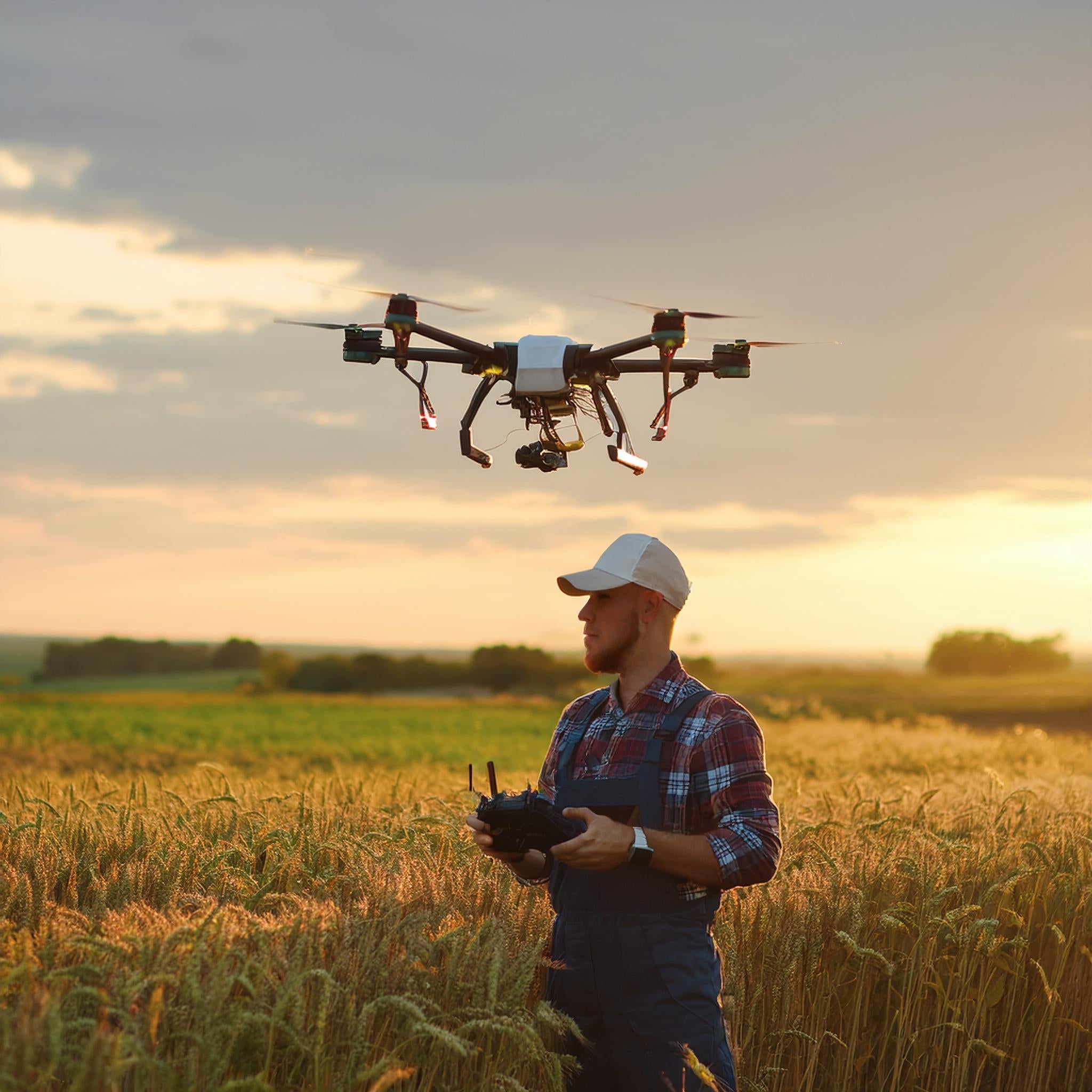
Modern agriculture faces a paradox: farmers are expected to produce more food with fewer resources, on tighter margins, and under increasingly unpredictable weather conditions. The answer to this challenge is increasingly coming from above. Agricultural drone services — operated by FAA Part 107-certified pilots — are giving farmers a powerful new tool to monitor crops, manage inputs, and maximize yields with unprecedented precision.
At CAAP Solutions LLC, we work directly with farmers, agronomists, and agricultural businesses to deliver professional drone services that translate aerial data into real, actionable results on the ground.
## What Are Agricultural Drone Services?
Agricultural drone services use unmanned aerial vehicles (UAVs) equipped with high-resolution cameras, multispectral sensors, and thermal imaging technology to capture detailed data about crops, soil, irrigation systems, and livestock. Unlike satellite imagery — which can be delayed, cloud-obscured, or too low-resolution for field-level decisions — drone surveys deliver on-demand, high-definition data exactly when and where you need it.
Key agricultural drone applications include:
- **Crop health monitoring** using NDVI (Normalized Difference Vegetation Index) multispectral imaging
- **Precision irrigation mapping** to identify dry spots, drainage issues, and over-watered zones
- **Pest and disease detection** before infestations spread across entire fields
- **Soil analysis and variability mapping** for variable-rate fertilizer application
- **Livestock and pasture monitoring** across large acreages
- **Yield estimation and harvest planning** using canopy analysis
- **Drainage and topography surveys** for field leveling and water management
- **Aerial photography and videography** for farm marketing and documentation
## The Business Case for Farm Drone Services
The return on investment for agricultural drone services is compelling. According to industry research, precision agriculture technologies — including drone-based monitoring — can reduce input costs by 15–25% while increasing yields by 5–15% through more targeted application of water, fertilizers, and pesticides.
Consider a 500-acre corn operation. A single drone survey can identify stressed zones covering just 30 acres that would otherwise receive the same blanket treatment as healthy areas. By targeting interventions only where needed, a farmer can save thousands of dollars per season in unnecessary chemical and water costs — while also reducing environmental runoff.
For larger operations, the math becomes even more favorable. Drone surveys that once required days of walking fields or expensive manned aircraft can now be completed in hours, with data delivered the same day.
## FAA Part 107 Compliance: Why It Matters for Your Farm
Not all drone operators are created equal. Operating a commercial drone — including for agricultural purposes — requires an FAA Part 107 Remote Pilot Certificate. Flying without this certification exposes both the operator and the landowner to significant legal and financial liability.
At CAAP Solutions LLC, every flight is conducted by a certified FAA Part 107 pilot. This means:
- **Full legal compliance** with federal aviation regulations
- **Proper airspace authorization** for controlled or restricted areas near airports
- **Professional liability coverage** and documented flight logs
- **Adherence to safety protocols** that protect your property, equipment, and personnel
When you hire a Part 107-certified drone service provider, you're not just getting better data — you're getting peace of mind that the operation is conducted safely and legally.
## Multispectral Imaging: Seeing What the Human Eye Can't
One of the most powerful tools in agricultural drone services is multispectral imaging. Standard cameras capture visible light, but multispectral sensors capture wavelengths beyond what the human eye can see — including near-infrared (NIR) bands that reveal plant stress long before it becomes visible.
Using NDVI analysis, our drone surveys can produce color-coded maps of your fields showing:
- **Healthy, vigorous vegetation** (high NDVI values)
- **Stressed or struggling crops** (mid-range NDVI values)
- **Bare soil, water, or dead vegetation** (low NDVI values)
This data allows agronomists and farmers to make targeted decisions: apply fungicide only to the affected 12% of a field, increase irrigation in the northwest corner where soil moisture is consistently low, or investigate why a particular zone consistently underperforms year after year.
## Drone Services for Specific Agricultural Sectors
### Row Crop Farming (Corn, Soybeans, Wheat)
For row crop operations, drone surveys provide season-long monitoring from emergence through harvest. Early-season stand counts help identify replanting needs. Mid-season NDVI maps guide variable-rate nitrogen applications. Late-season canopy analysis supports yield estimation and harvest logistics.
### Specialty Crops and Orchards
Fruit and vegetable growers face unique challenges — high-value crops where a single disease outbreak can devastate an entire season's revenue. Drone thermal imaging can detect irrigation failures in orchards overnight, while multispectral surveys identify early signs of fire blight, powdery mildew, or nutrient deficiencies before they spread.
### Livestock and Pasture Management
For ranchers managing large acreages, drone services provide efficient livestock counts, pasture condition assessments, and fence line inspections — tasks that previously required hours on horseback or in a truck. Thermal cameras can even locate animals in dense brush or at night.
### Vineyards and Wine Grapes
Vineyard managers use drone NDVI mapping to identify vine stress, optimize irrigation scheduling, and document canopy uniformity for harvest decisions. Aerial photography also supports premium wine marketing with stunning vineyard imagery.
## What to Expect from a CAAP Solutions Agricultural Drone Survey
Our agricultural drone service process is straightforward and designed to deliver maximum value:
1. **Consultation** — We discuss your operation, goals, and the specific data you need.
2. **Flight Planning** — We plan the mission, obtain any necessary airspace authorizations, and schedule around optimal lighting and weather conditions.
3. **Data Capture** — Our Part 107-certified pilot conducts the survey with professional-grade equipment.
4. **Data Processing** — Raw imagery is processed into orthomosaic maps, NDVI analyses, and 3D models as needed.
5. **Deliverables** — You receive georeferenced maps, reports, and actionable recommendations — typically within 24–48 hours of the flight.
## Ready to See Your Farm from a New Perspective?
Agricultural drone services are no longer a luxury reserved for large corporate farming operations. CAAP Solutions LLC makes professional, FAA Part 107-compliant drone surveys accessible and affordable for farms of all sizes.
Whether you're managing 50 acres of specialty crops or 5,000 acres of row crops, aerial data can help you farm smarter, reduce waste, and improve your bottom line.
**Contact CAAP Solutions today** to schedule your agricultural drone survey and discover what your fields look like from above. Visit [caapsolutions.com/contact](https://caapsolutions.com/contact) or call us to discuss your operation's specific needs.
*CAAP Solutions LLC — Professional Drone Services | FAA Part 107 Certified | Serving Agricultural Operations Across the Region*