# Drone Services for Agriculture: How Aerial Technology Is Transforming Modern Farming
Modern agriculture faces mounting pressure: rising input costs, unpredictable weather, labor shortages, and the constant demand to produce more with less. Fortunately, agricultural drone services have emerged as one of the most powerful tools available to today's farmers, agronomists, and land managers. At CAAP Solutions LLC, our FAA Part 107-certified pilots deliver precision aerial data that helps agricultural operations of every size make smarter, faster decisions.
## What Are Agricultural Drone Services?
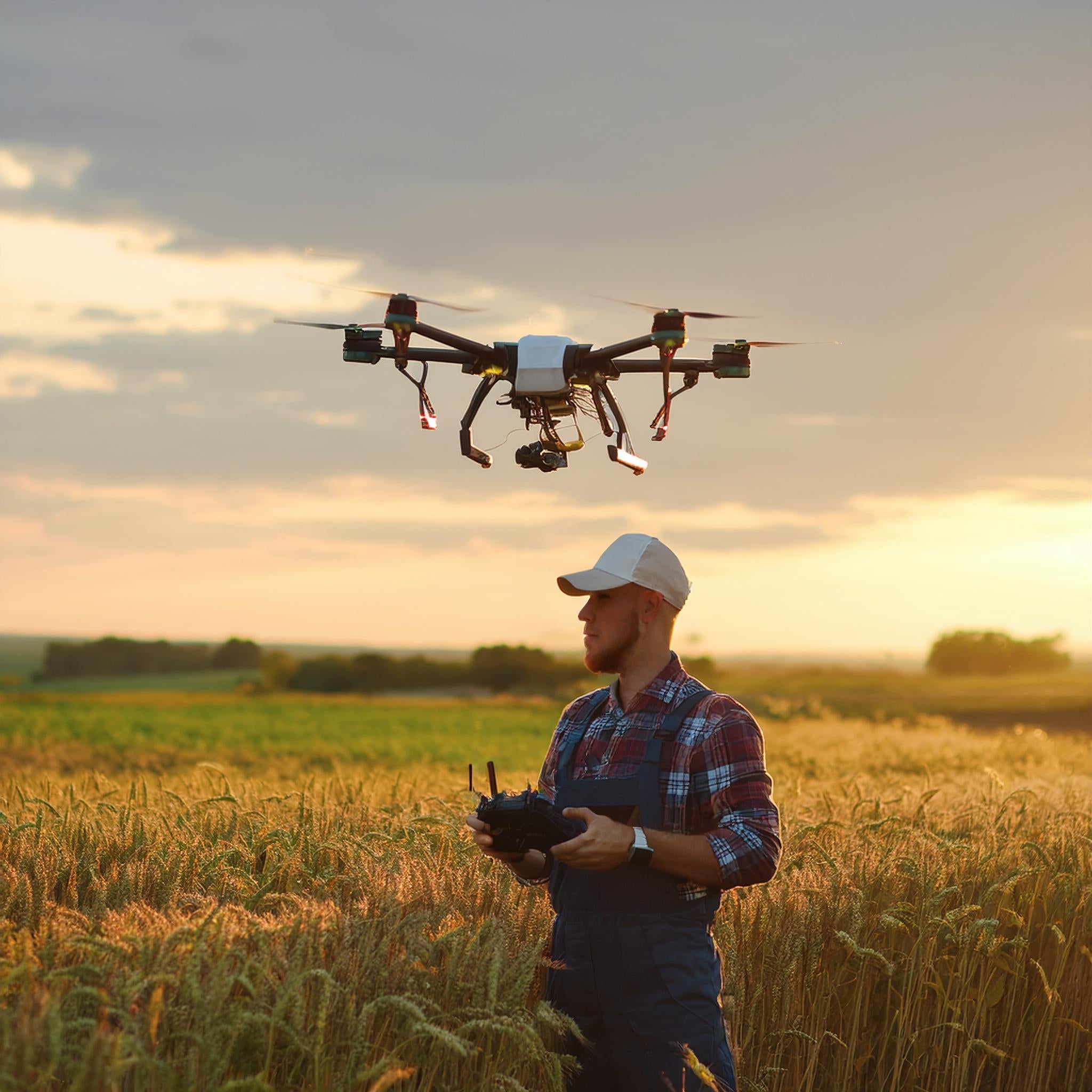
Agricultural drone services encompass a wide range of aerial data collection and application tasks performed by unmanned aerial vehicles (UAVs) equipped with specialized sensors and cameras. Unlike traditional scouting methods that rely on walking fields or hiring manned aircraft, drones provide rapid, high-resolution coverage at a fraction of the cost—giving farmers actionable intelligence in hours rather than days.
From small family farms to large commercial operations, drone technology is now accessible, affordable, and proven to deliver measurable ROI.
## Key Applications of Drone Services in Agriculture
### 1. Crop Health Monitoring with NDVI Imaging
One of the most valuable applications of agricultural drones is multispectral and NDVI (Normalized Difference Vegetation Index) imaging. By capturing near-infrared and visible light data, drones can detect crop stress, nutrient deficiencies, disease outbreaks, and pest infestations long before they become visible to the naked eye.
Early detection means early intervention—saving entire sections of a crop that might otherwise be lost. NDVI maps allow agronomists to prescribe targeted treatments rather than blanket applications, reducing chemical usage and protecting profit margins.
### 2. Precision Aerial Mapping and Field Surveys
High-resolution orthomosaic maps generated from drone imagery give farmers an accurate, bird's-eye view of their entire operation. These maps can be used to:
- **Identify drainage problems** and standing water areas
- **Measure field boundaries** and calculate accurate acreage
- **Plan irrigation layouts** and optimize water distribution
- **Document field conditions** before and after planting seasons
With centimeter-level accuracy using RTK (Real-Time Kinematic) GPS technology, our aerial surveys provide data precise enough for precision agriculture applications.
### 3. Soil Analysis and Terrain Modeling
Before a single seed goes in the ground, understanding your soil's topography can make or break a season. Drone-generated Digital Elevation Models (DEMs) reveal subtle grade changes, compaction zones, and erosion-prone areas that standard soil tests miss. This data integrates seamlessly with variable-rate application equipment, ensuring inputs are applied exactly where they're needed.
### 4. Irrigation Monitoring and Water Management
Water is agriculture's most precious resource. Thermal imaging drones can identify irrigation system leaks, clogged emitters, and uneven water distribution across large fields. By catching these issues early, farmers can prevent crop stress, reduce water waste, and lower utility costs—all critical factors in sustainable farming operations.
### 5. Livestock and Pasture Management
Drone services aren't limited to row crops. Ranchers and livestock producers use aerial surveys to:
- **Count and locate livestock** across large pastures quickly and safely
- **Assess pasture health** and carrying capacity
- **Monitor fencing integrity** and identify breaches
- **Survey water sources** and trough conditions
What once required hours on horseback or in an ATV can now be accomplished in minutes with a drone flight.
### 6. Yield Estimation and Harvest Planning
As harvest season approaches, drone imagery helps farmers estimate yield potential by analyzing canopy density, plant height, and overall crop uniformity. This data supports better logistics planning—from scheduling equipment and labor to coordinating grain storage and transportation.
## The ROI of Agricultural Drone Services
The numbers speak for themselves. Studies consistently show that precision agriculture practices enabled by drone data can:
- **Reduce pesticide and fertilizer costs by 15–25%** through targeted variable-rate applications
- **Increase yields by 5–15%** by catching problems early and optimizing inputs
- **Save 60–80% of scouting time** compared to manual field walking
- **Reduce water usage by up to 30%** with precision irrigation management
For a 500-acre operation, even modest improvements in efficiency can translate to tens of thousands of dollars in annual savings.
## Why Choose a FAA Part 107 Certified Drone Pilot?
Not all drone operators are created equal. The FAA Part 107 certification requires pilots to demonstrate knowledge of airspace regulations, weather interpretation, emergency procedures, and safe operating practices. When you hire CAAP Solutions LLC, you're working with a licensed professional who:
- Carries proper liability insurance
- Files required airspace authorizations (LAANC)
- Operates within all FAA regulations
- Delivers data in industry-standard formats compatible with your existing farm management software
This matters not just for safety, but for the quality and reliability of the data you receive.
## Getting Started with Drone Services for Your Farm
Whether you manage 50 acres or 5,000, integrating drone services into your agricultural operation is easier than you might think. CAAP Solutions LLC offers flexible service packages tailored to your specific crops, terrain, and data needs.
Our process is simple:
1. **Consultation** – We discuss your goals, field layout, and the data you need
2. **Flight Planning** – We design an efficient flight plan to capture maximum coverage
3. **Data Collection** – Our Part 107 pilot conducts the aerial survey safely and efficiently
4. **Data Processing & Delivery** – You receive processed maps, reports, and actionable insights within 24–48 hours
## The Future of Farming Is Aerial
As drone technology continues to advance—with longer battery life, more sophisticated sensors, and AI-powered analytics—the role of aerial services in agriculture will only grow. Farmers who adopt these tools today are building a competitive advantage that will compound over time.
Don't let another season pass without the insights that drone technology can provide. Contact CAAP Solutions LLC today to schedule your agricultural drone survey and discover what your fields have been trying to tell you.
---
*CAAP Solutions LLC is a licensed and insured drone services company serving agricultural clients across the region. Our FAA Part 107 certified pilots specialize in precision aerial data collection for farming, ranching, and agribusiness operations. [Contact us today](https://caapsolutions.com/contact) to learn more.*